15 Minutes in the Sky:
A new, fast, low cost approach to full 3D surveying.
Jonathan Byrne
Urban Modelling Group (UMG)
University College Dublin
Ireland
Urban Modelling Group
link
Structural Analysis
Wind Tunnel Modelling
UAV Scanning:
- Low cost
- Easily capture multiple angles
- Real-time feedback
- Centimetre accurate models
- Spatial image database
- Limited range
- Limited battery life
- Legal restrictions
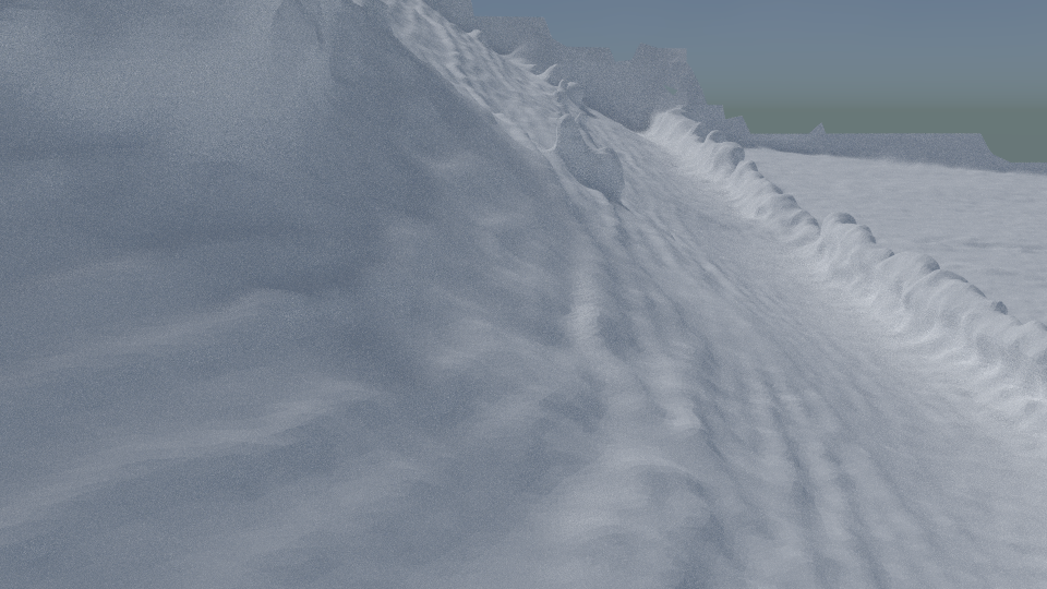
Traditional Photogrammetry
The Problem with Perspective and Parallax
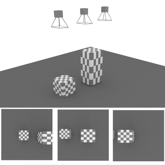
Structure From Motion
link
Bundler Files
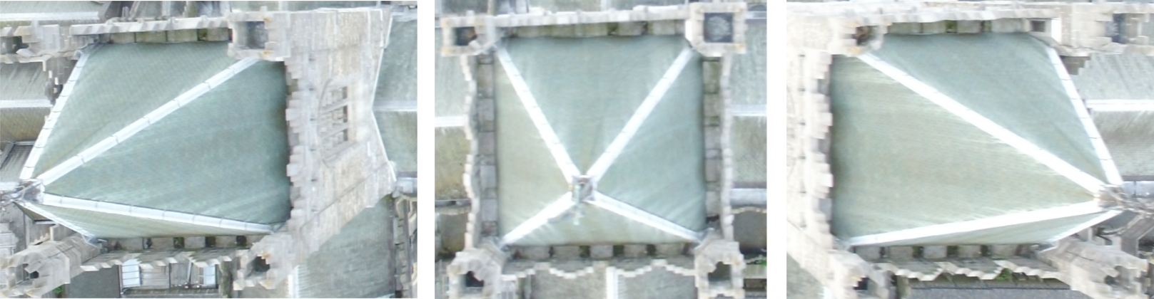
Vertical vs Oblique (Angled)
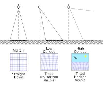
Vertical vs Oblique (Angled)
link
Ballycorus Lead Mines
link
Mesh with Texture
Mesh without Texture
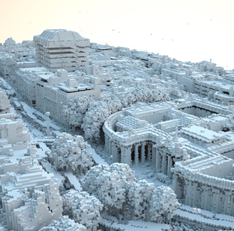
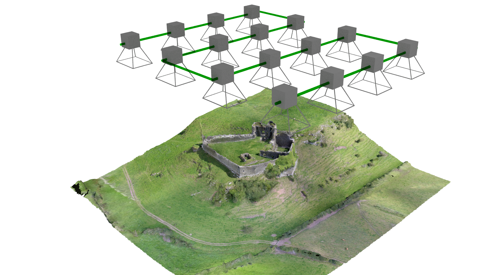
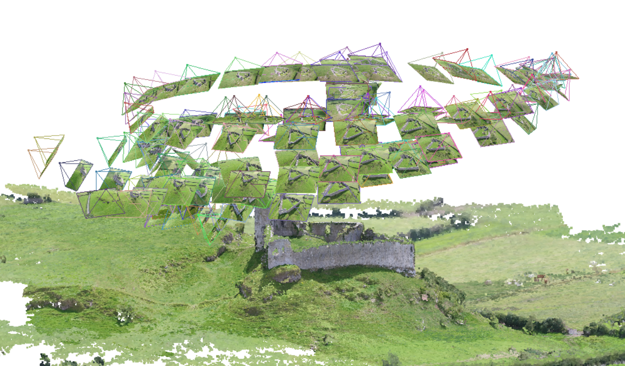
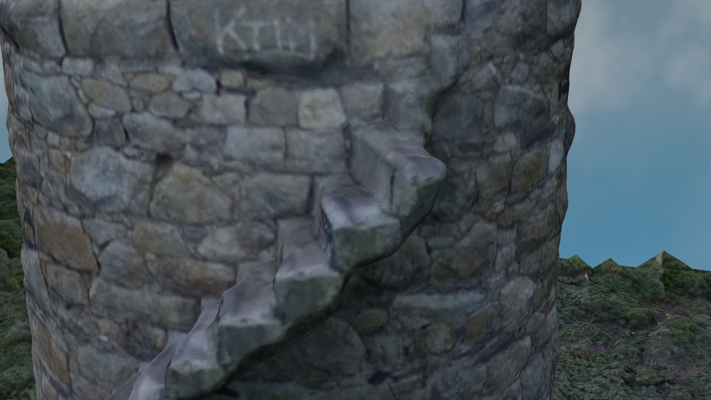
Scanning Archaeological Sites: Castleroche
link
Area: 0.01 km², 2.99 acres, 1.21 hectares
Mesh with Texture
Mesh without Texture
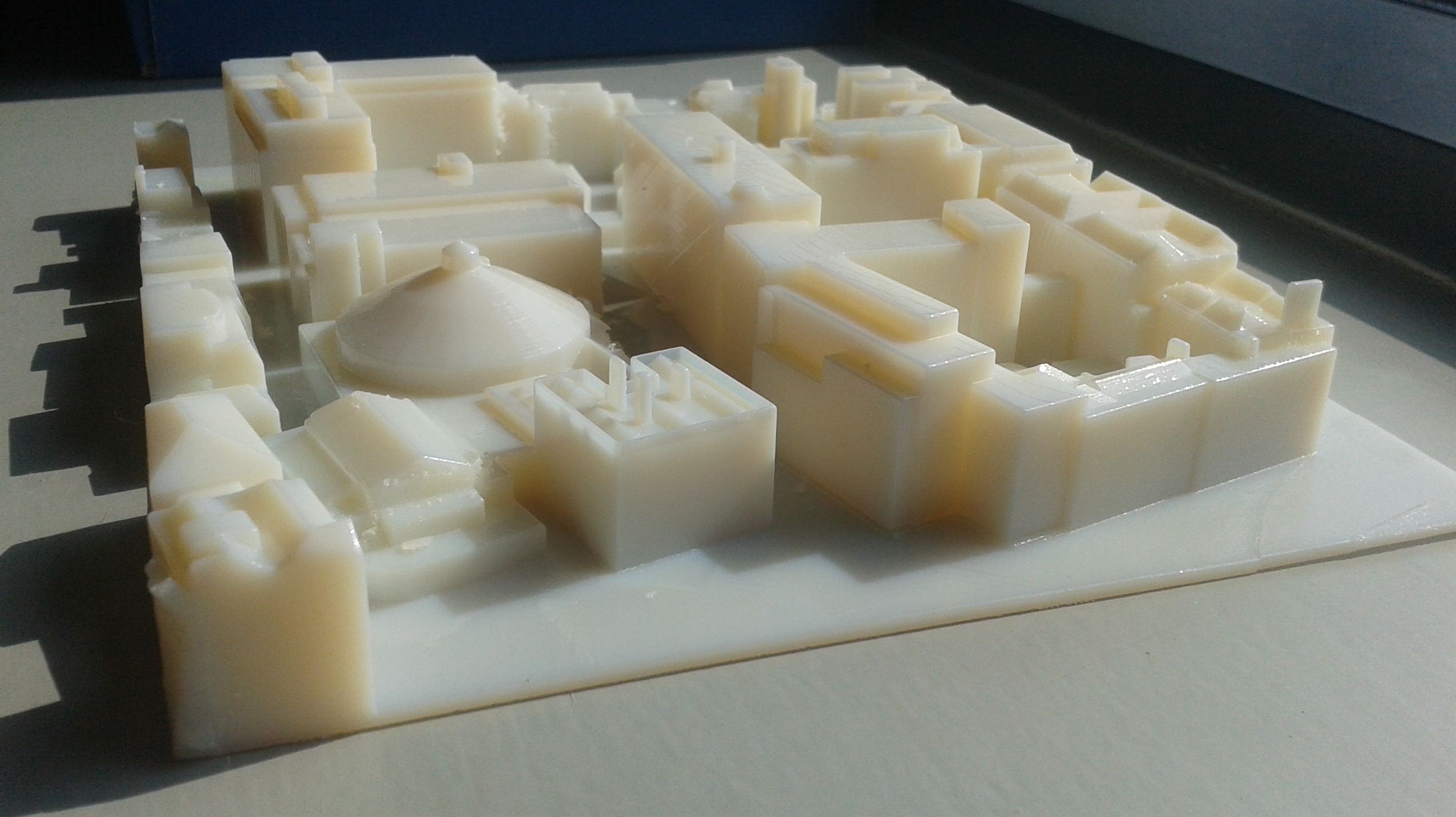
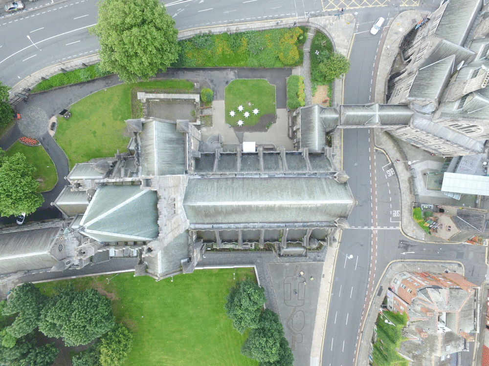
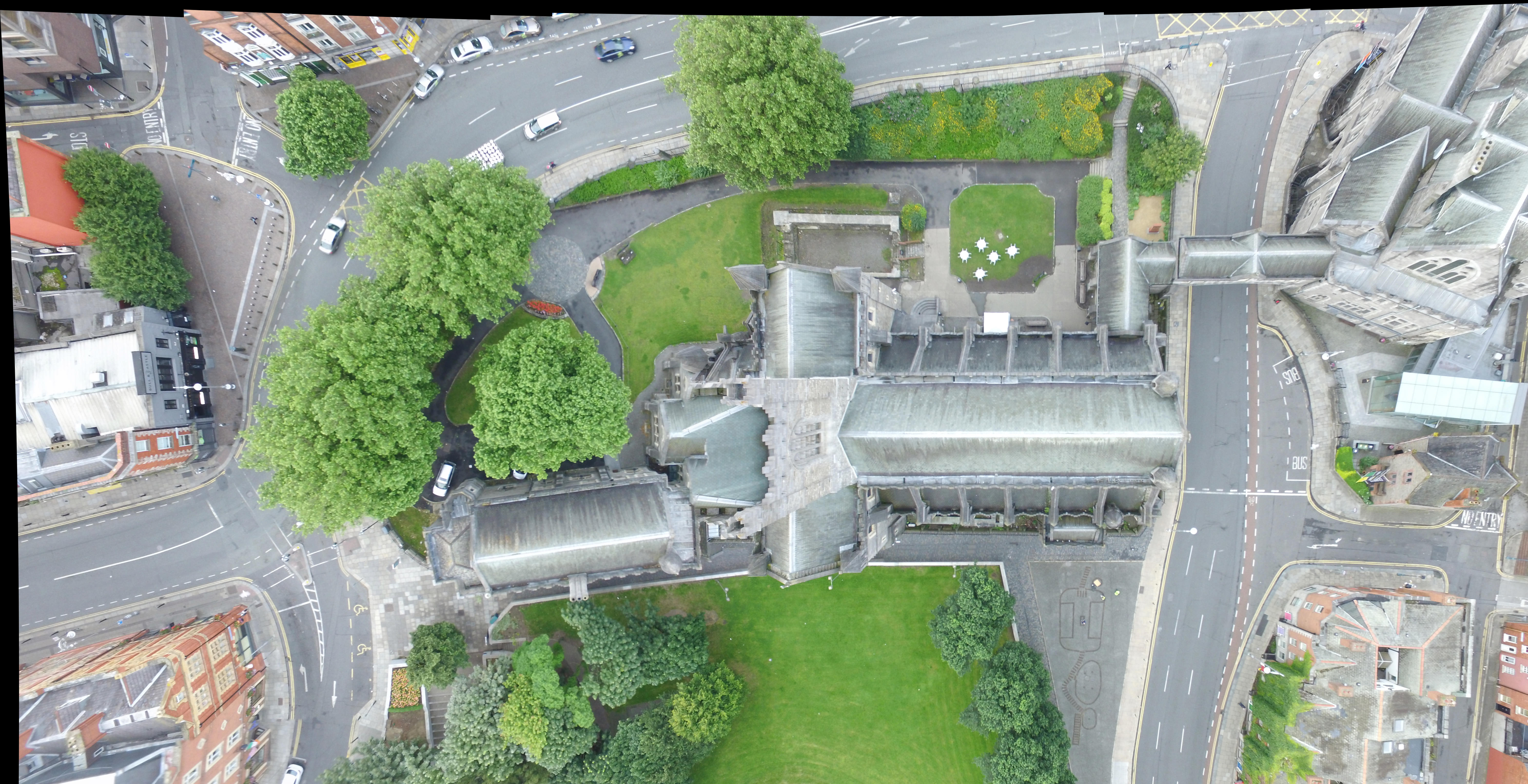
Boland's Mills:
link
Area: 0.01 km², 2.52 acres, 1 hectare
Accuracy
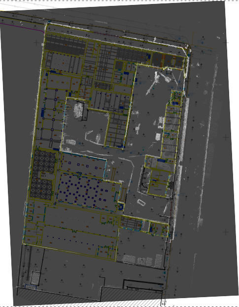
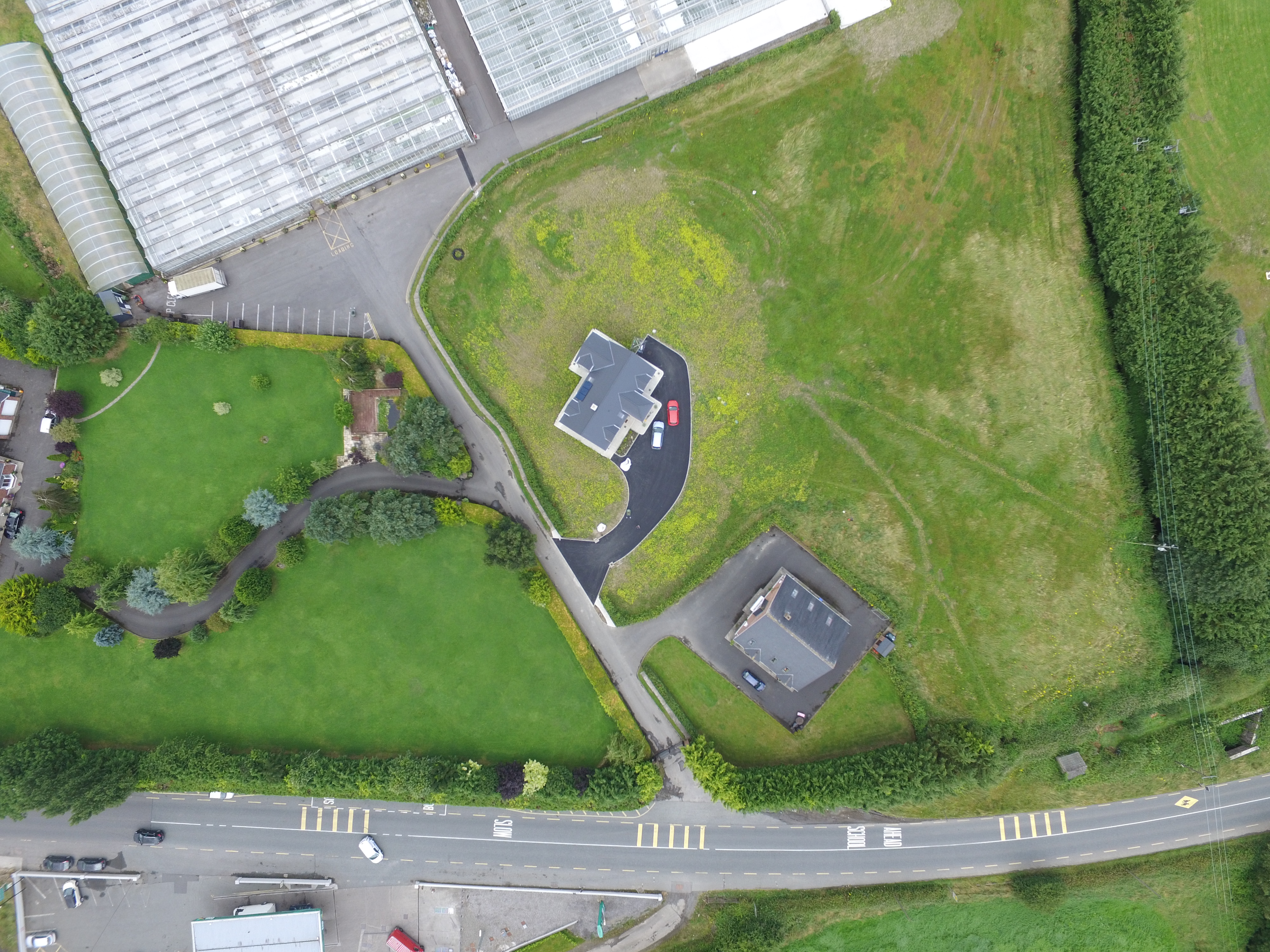
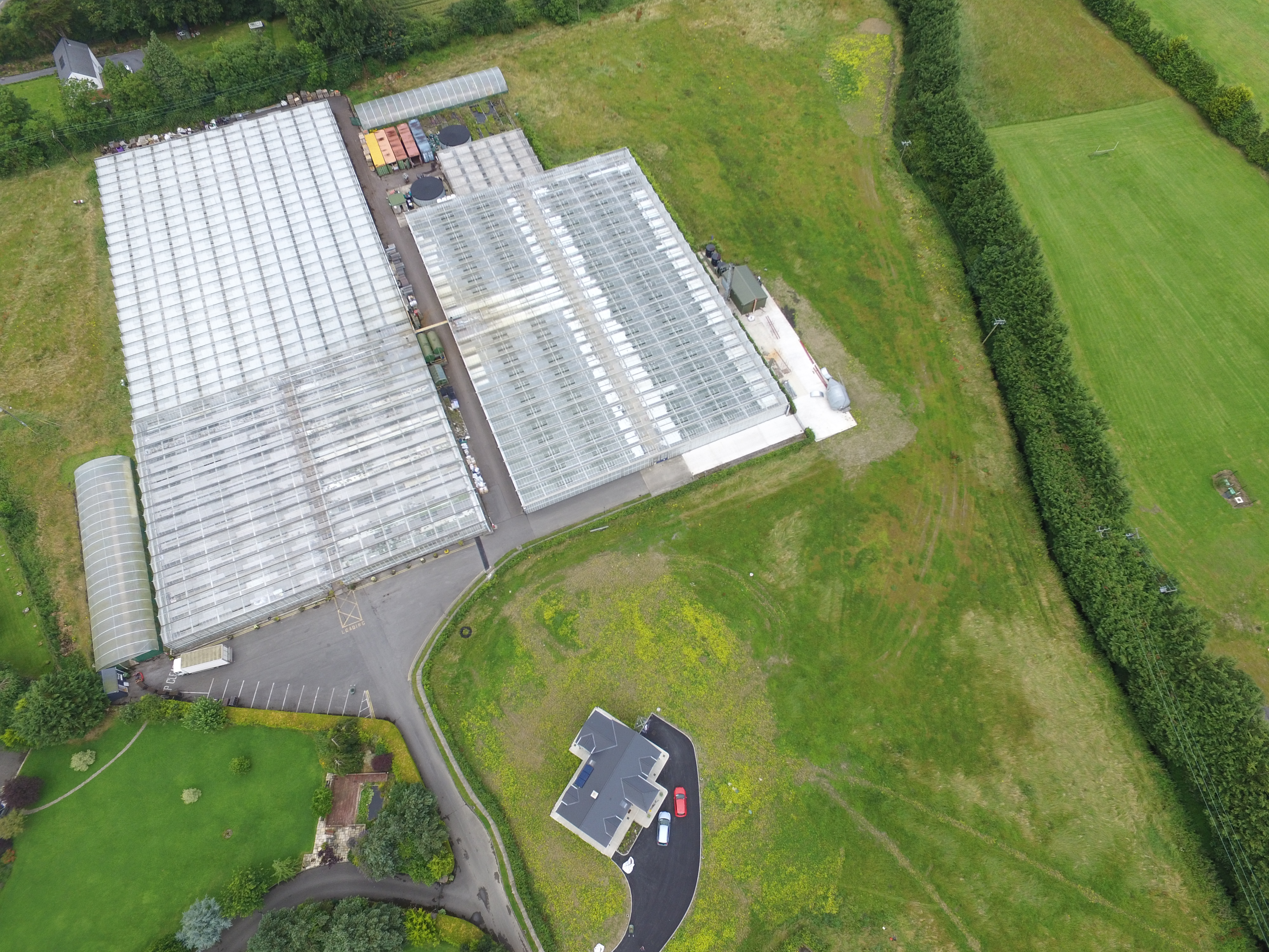
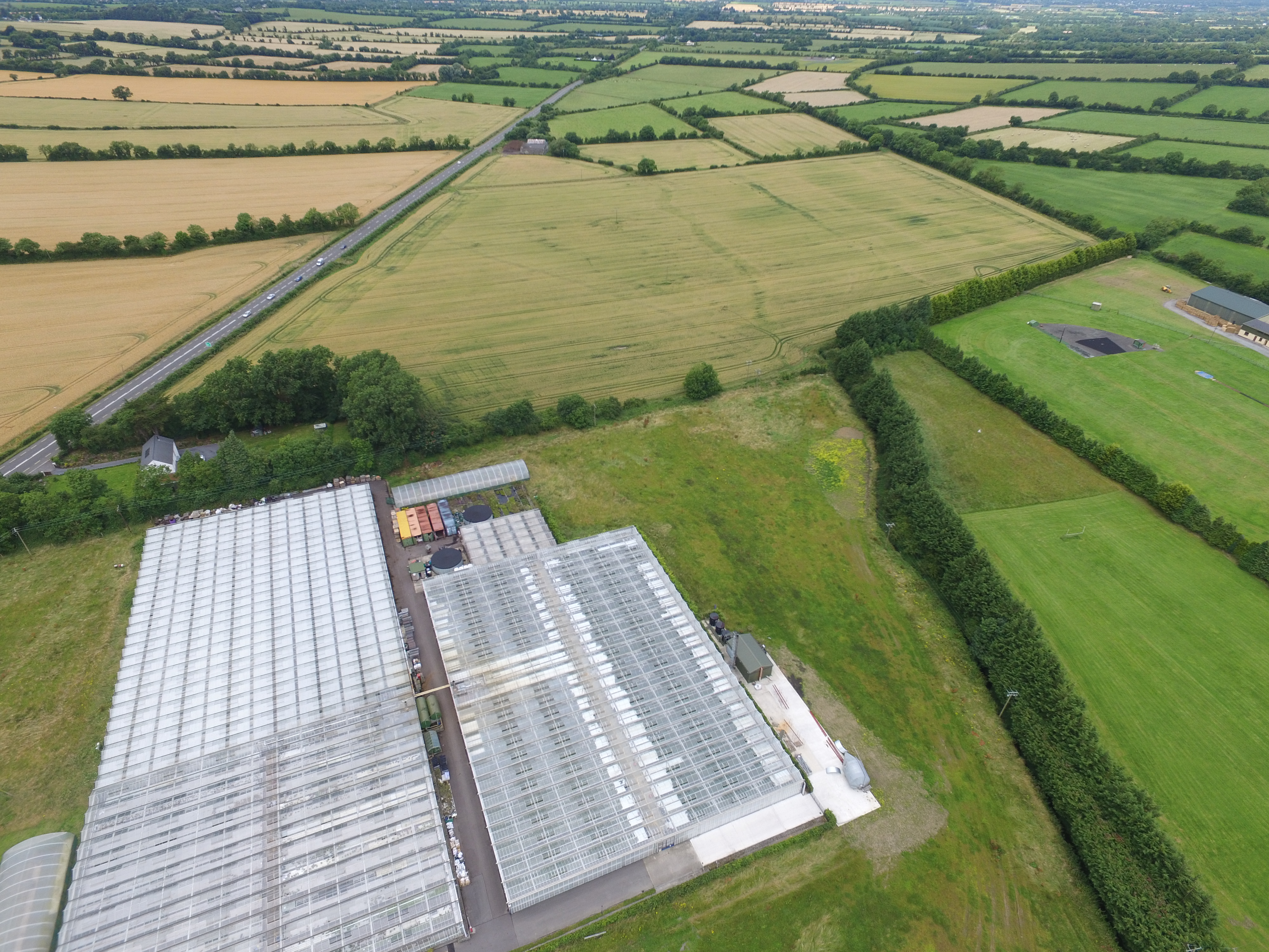
UCD: Urban Large Area Survey
link
Area: 1.1 km², 271.82 acres, 110 hectares
Vertical
2.2 Hectares
30 Degree Oblique
4.6 Hectares
40 Degree Oblique
10 Hectares
Vertical
2.2 Hectares
30 Degree Oblique
4.6 Hectares
60 Degree Oblique
10 Hectares
Connolly's Folly and Kilmacredock Survey
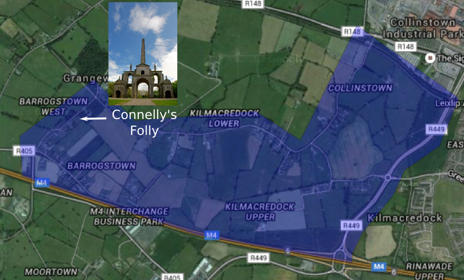
Area: 3.03 km², 749.79 acres, 303.43 hectares
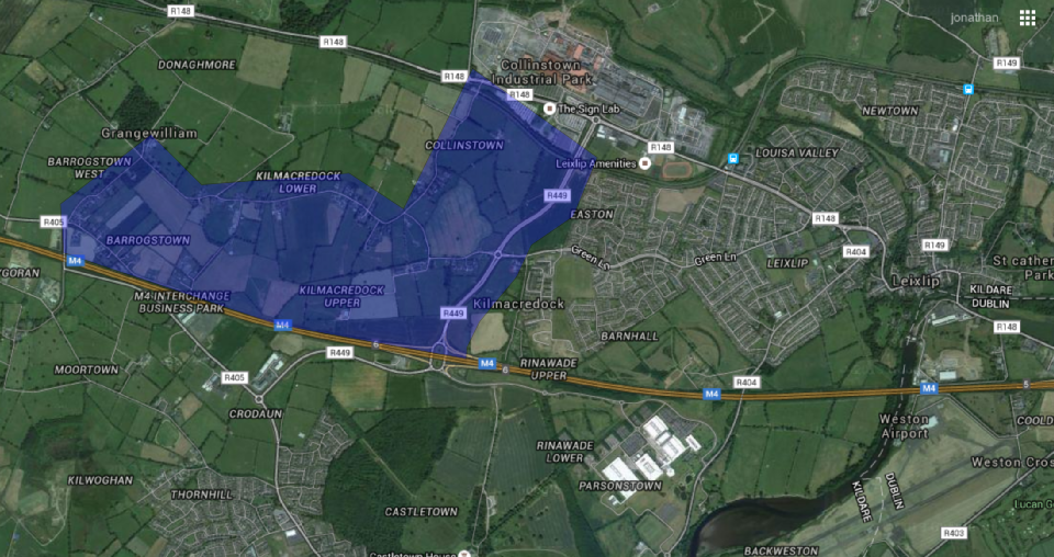
3D Model
link
Area: 3.03 km², 749.79 acres, 303.43 hectares
Accuracy:
- Model accuracy at 100 meters: 5 centimeters (GSD)
- Model accuracy at 50 meters: 2 centimeters (GSD)
- Georeference accuracy with GPS: approx 1-5 meter
- Georeference accuracy with RTK: approx 2-4 cm
Future Work:
- Improvements in Structure From Motion algorithm
- Simultaneous Localisation and Mapping
- Flight path planning
- Coordinated UAV scanning
- Visualisation over the internet link
Other surveys:
- Bandon, Co. Cork
- Trim Castle
- Newtown Abbey, Trim
- UCD Campus
- Slane, co Meath
Thanks
umg.ucd.ie
3dsurveyingservices.ie