Building Inspection and Large Area Surveying Using UAVs
Jonathan Byrne
Urban Modelling Group (UMG)
University College Dublin
Ireland
Urban Modelling Group
link
Structural Analysis
Wind Tunnel Modelling
UAV Scanning:
- Low cost
- Easily capture multiple angles
- Real-time feedback
- Centimetre accurate models
- Spatial image database
- Limited range
- Limited battery life
- Legal restrictions
Traditional Photogrammetry
Low Altitude Parallax
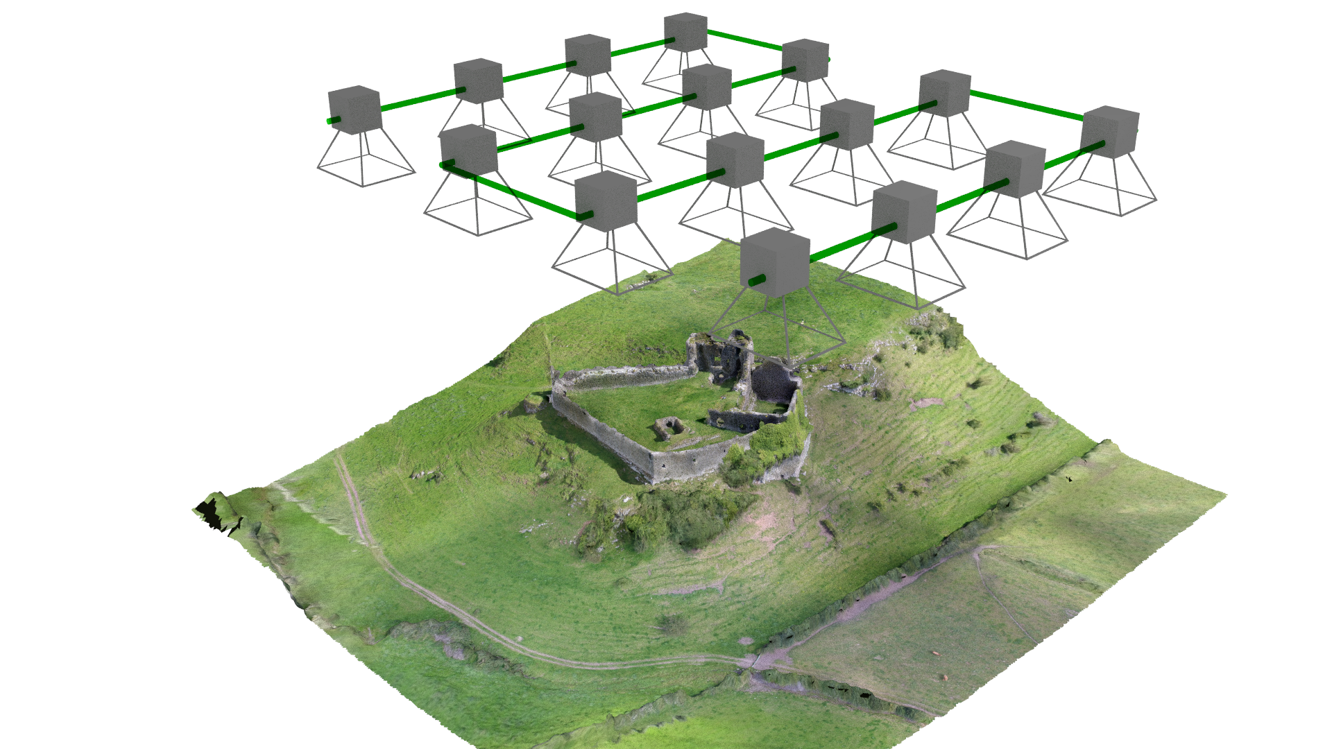
Structure from Motion
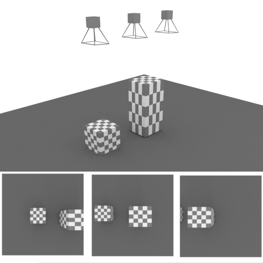
- Find features (edges, corners)
- Match images
- Align images
- Generate point cloud
- Generate and texture mesh
Feature Detection
Alignment
link
link
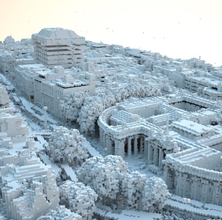
Generate Point Cloud
link
link
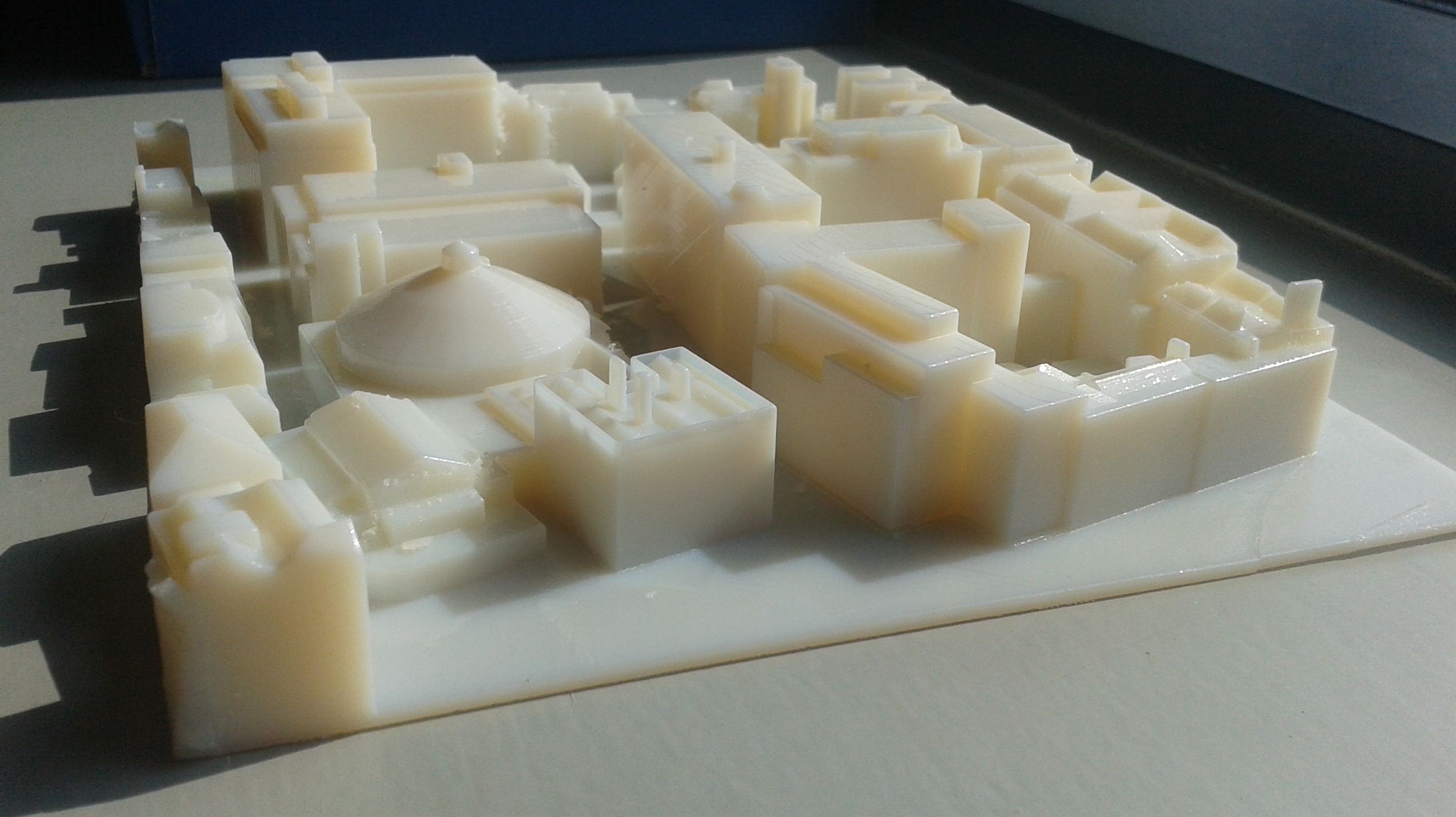
Mesh and Texture
link
link
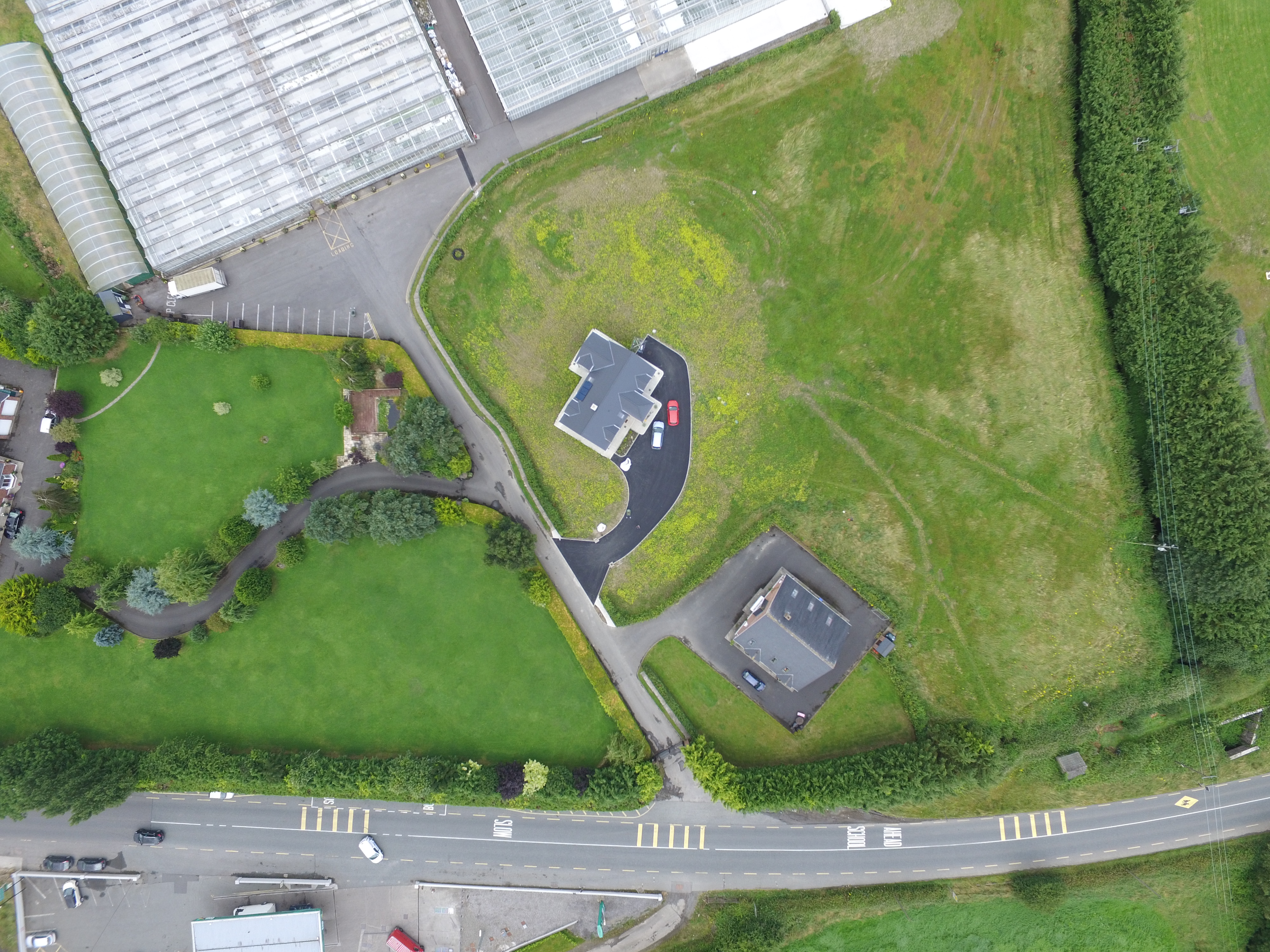
Applications:
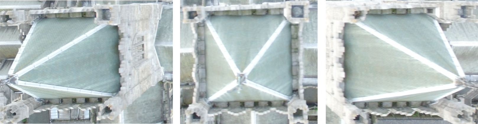
- Building, roof and bridge inspection
- Ortho-rectified maps
- Digital elevation models
- Volume measurement
- Point cloud generation
- Fully textured and geo-referenced models
- BIM integration
- Measurement models and linework
- Digital historical archives
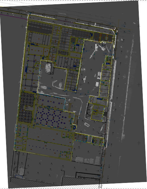
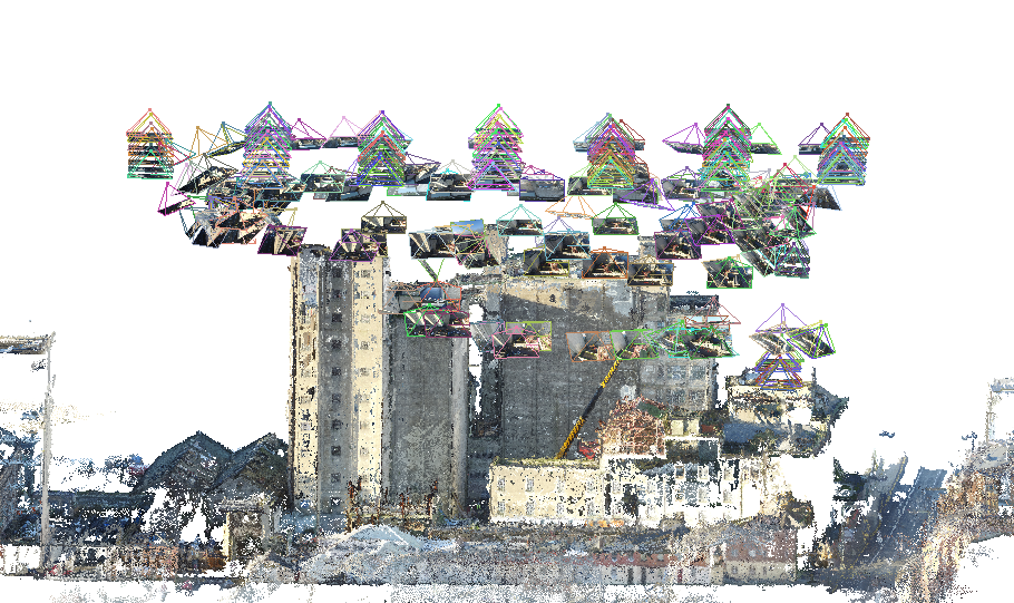
Boland's Mills:
link
Area: 0.01 km², 2.52 acres, 1 hectare
Accuracy
Spatial Image Database
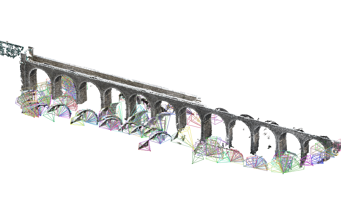
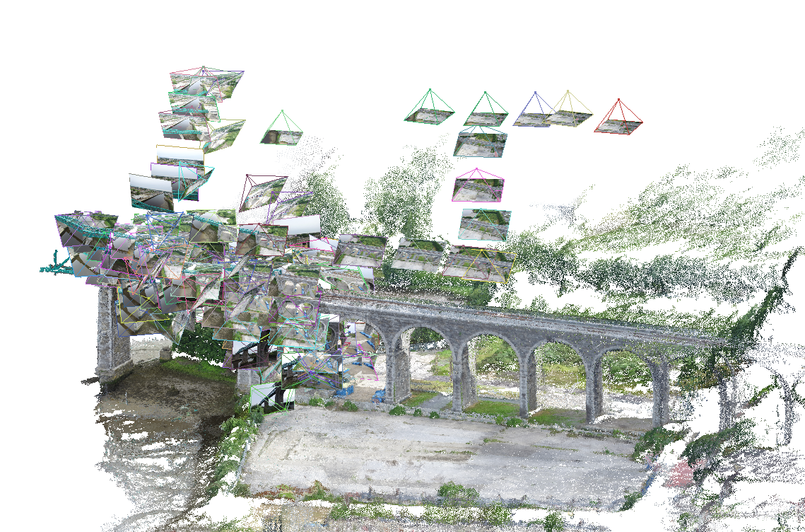
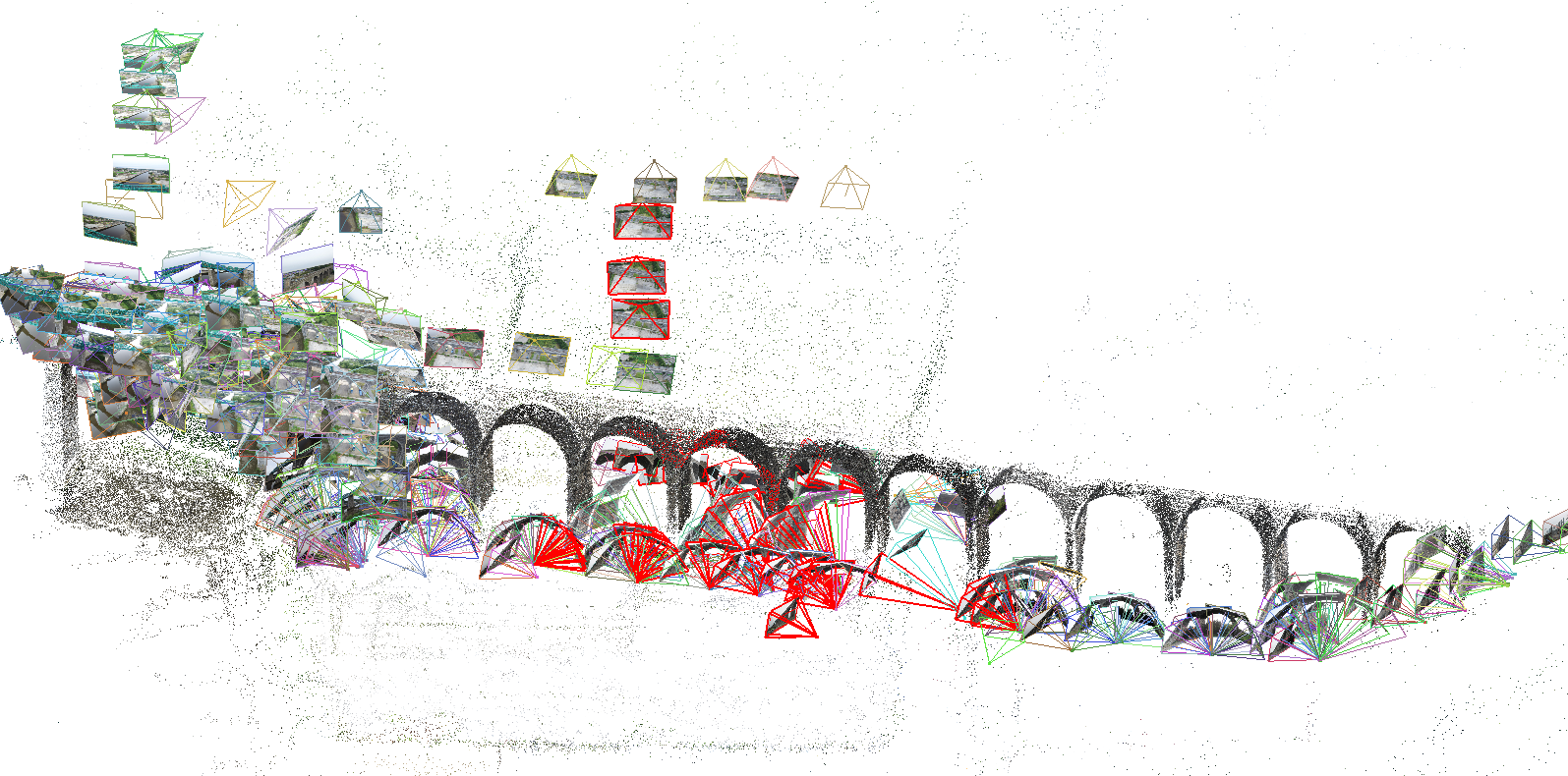
Boyne Viaduct:
link
Area: 0.02 km², 3.74 acres, 1 hectare
Ground Survey
Aerial Survey 1
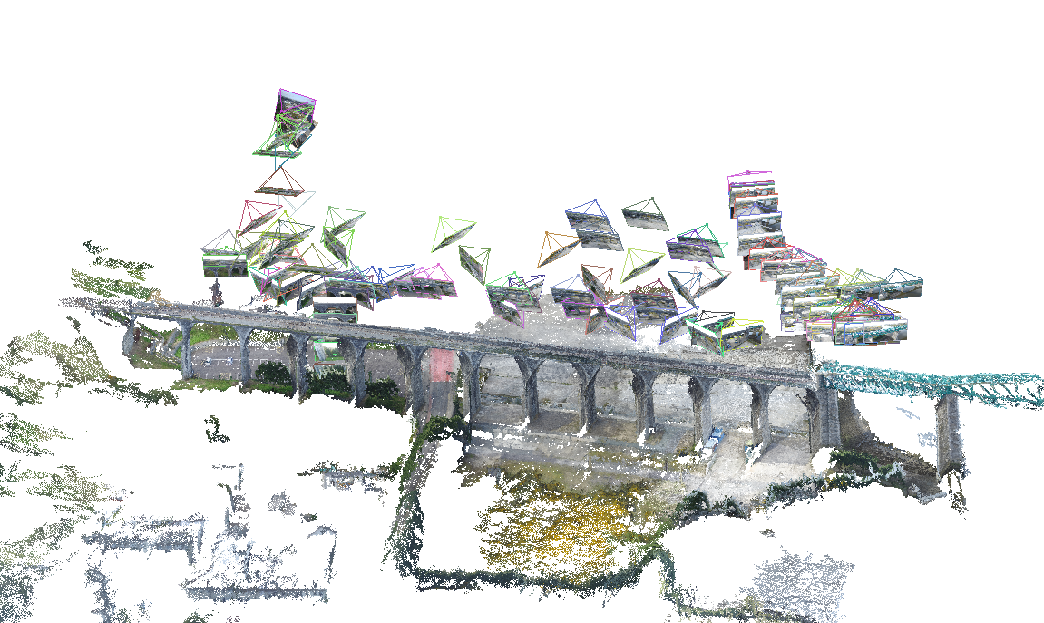
Aerial Survey 2
Model interaction
Large Aerial Surveys
- 10-500 Hectares
- Normally conducted by fixed wing aircraft
- Height trades off accuracy for speed
- Incorporate ground control points from traditional surveying
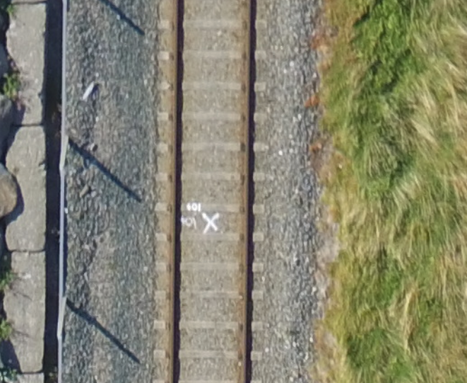
Greystones to Kilcoole
link
Area: 3.6 km², 88 acres, 36 hectares
Ground Control Points
Vertical vs Oblique (Angled)
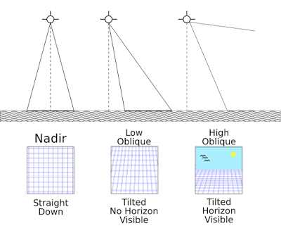
Vertical
2.2 Hectares
30 Degree Oblique
4.6 Hectares
40 Degree Oblique
10 Hectares
Vertical
2.2 Hectares
30 Degree Oblique
4.6 Hectares
60 Degree Oblique
10 Hectares
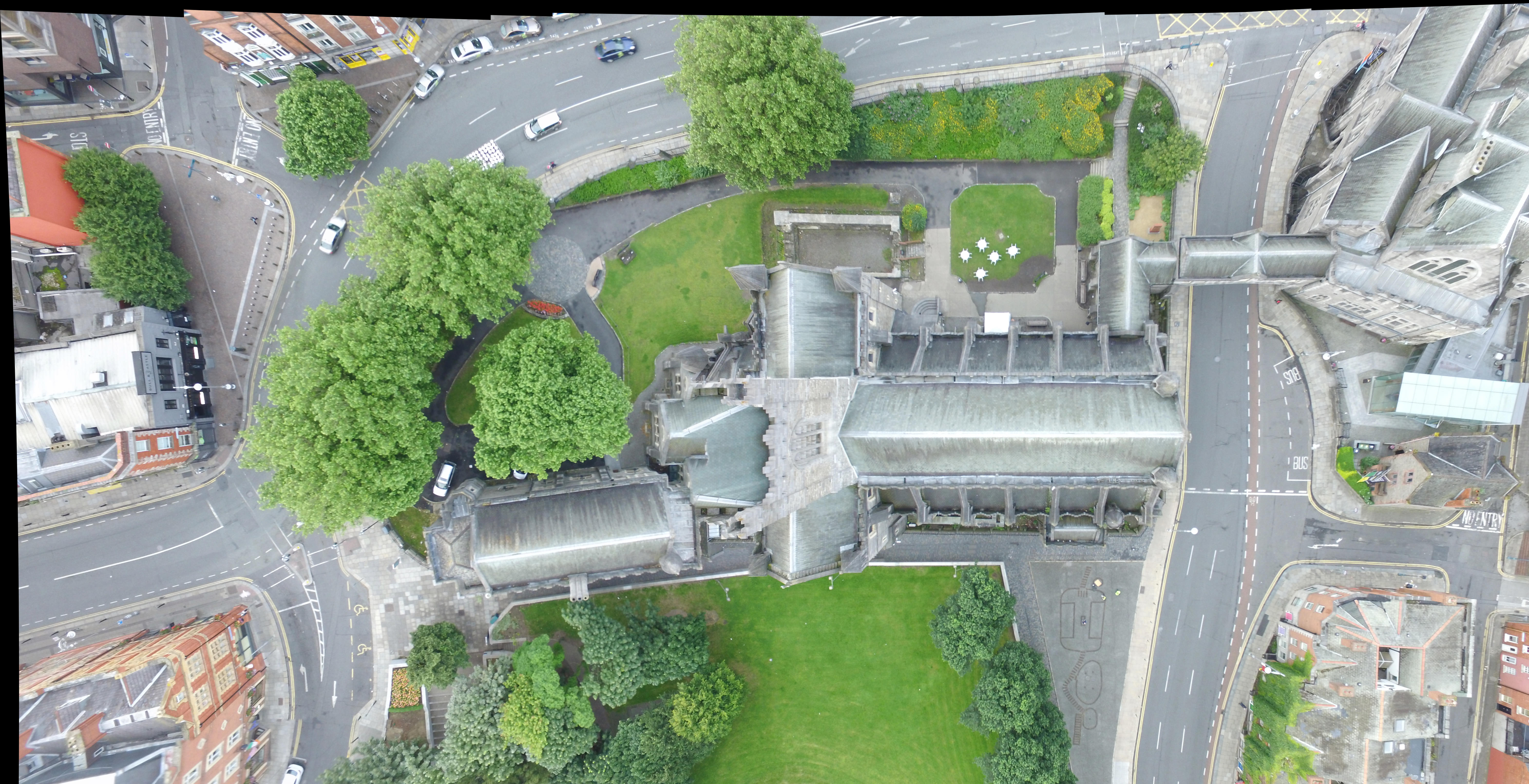
UCD: Urban Large Area Survey
link
Area: 1.1 km², 271.82 acres, 110 hectares
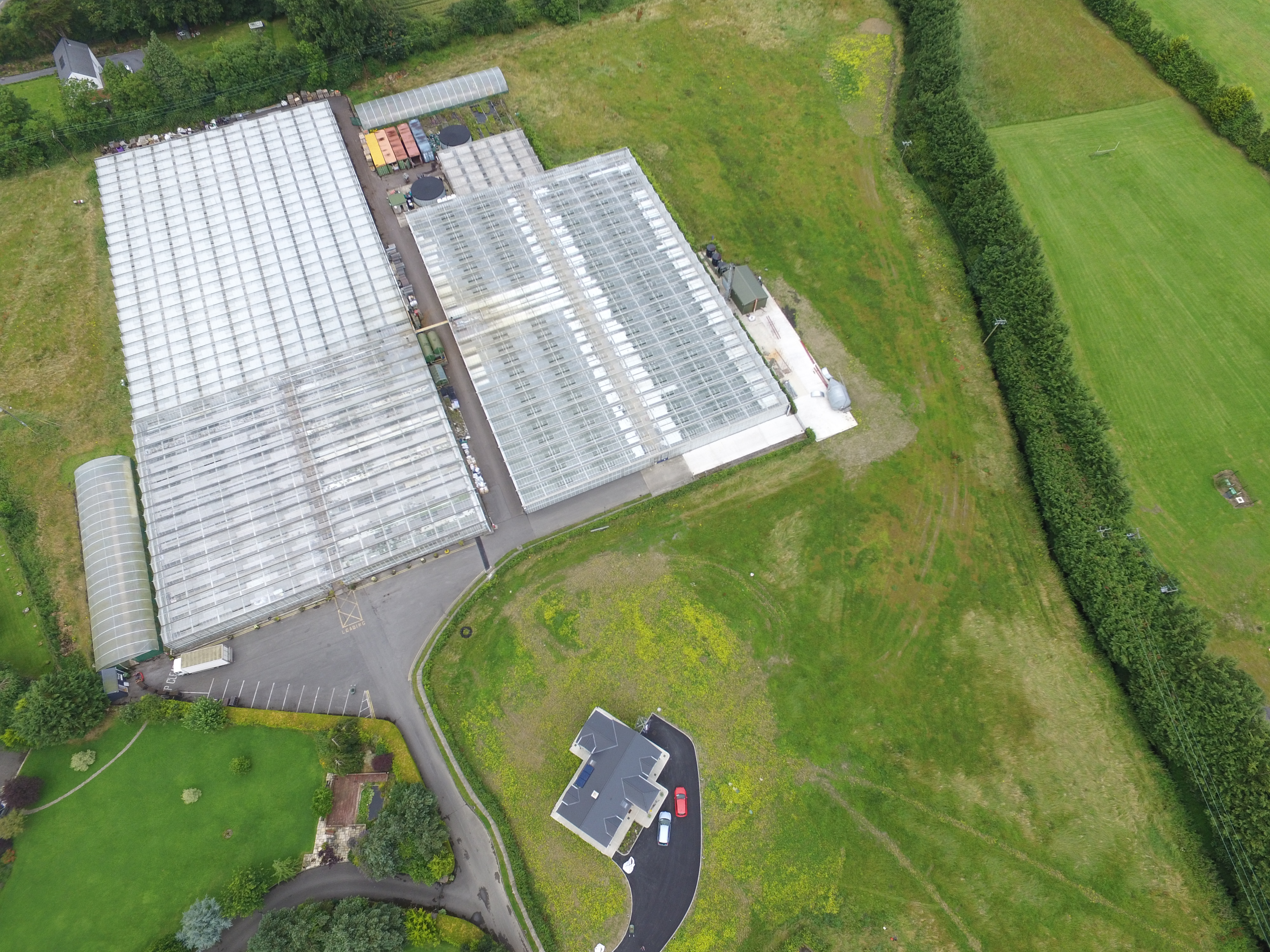
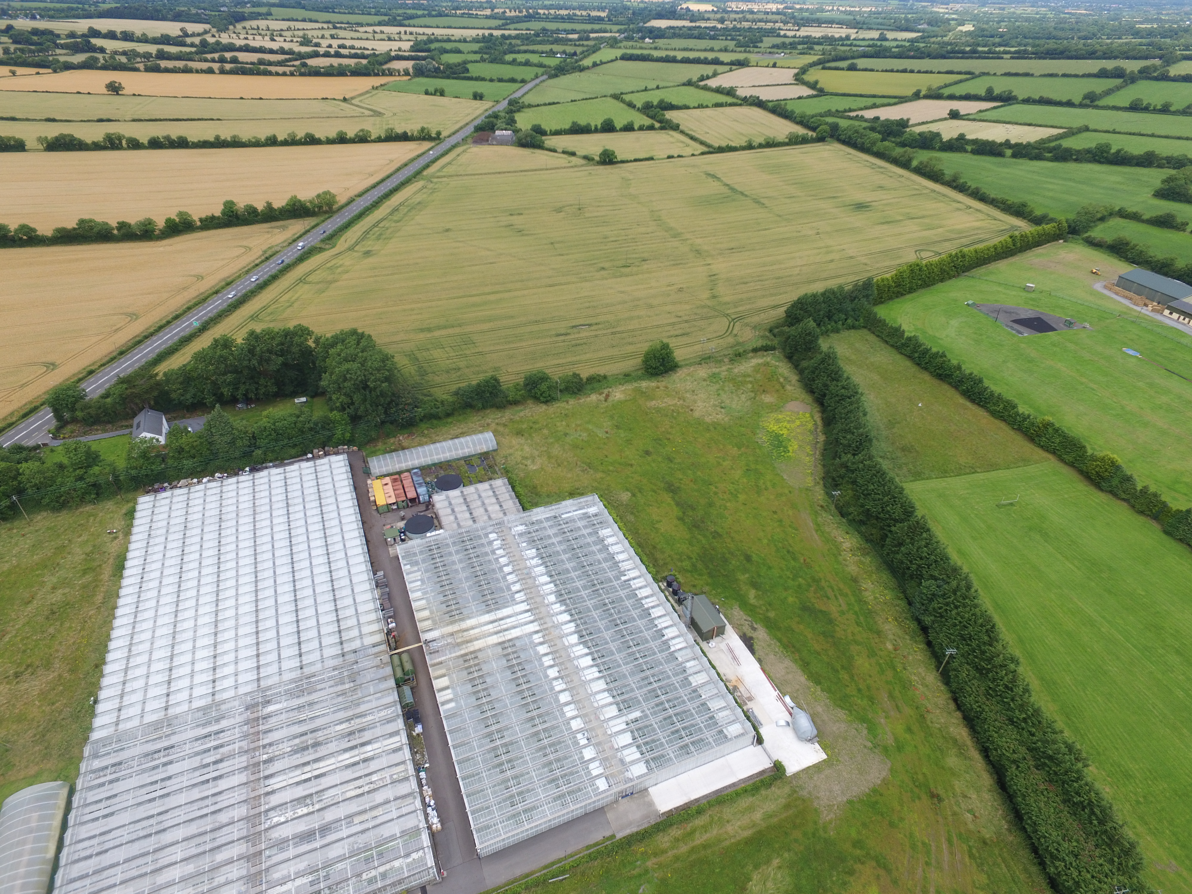
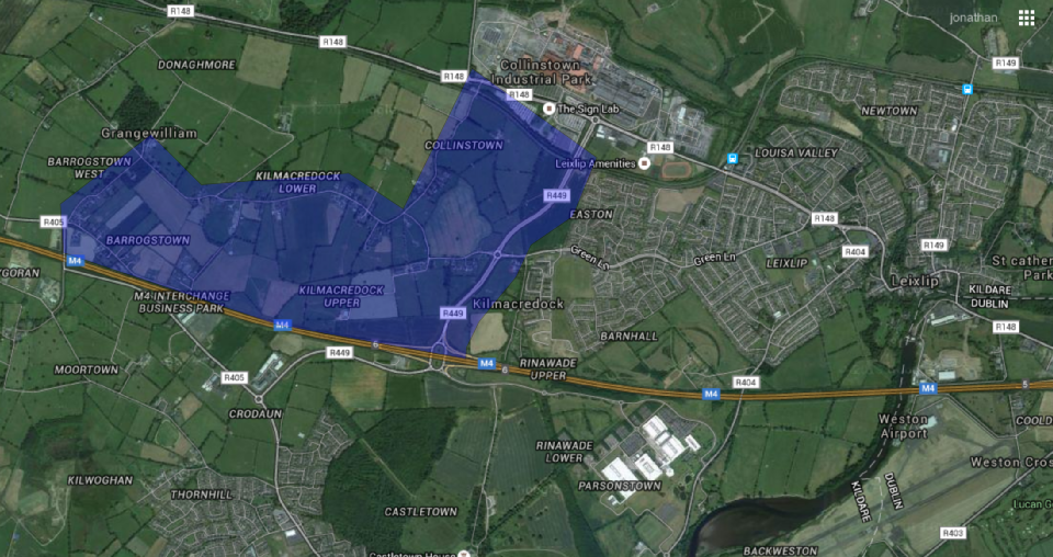
Connolly's Folly and Kilmacredock Survey
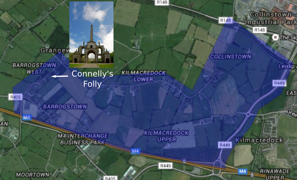
Area: 3.03 km², 749.79 acres, 303.43 hectares
3D Model
link
Area: 3.03 km², 749.79 acres, 303.43 hectares
Accuracy:
- Model accuracy at 100 meters: 5 centimeters (GSD)
- Model accuracy at 50 meters: 2 centimeters (GSD)
- Georeference accuracy with GPS: approx 1-5 meter
- Georeference accuracy with RTK: approx 2-4 cm
Future Work:
- Improvements in Structure From Motion algorithm
- Simultaneous Localisation and Mapping
- Flight path planning
- Coordinated UAV scanning
- Visualisation over the internet link
Other surveys:
- Bandon, Co. Cork
- Trim Castle
- Newtown Abbey, Trim
- Slane, co Meath
Thanks
umg.ucd.ie
3dsurveyingservices.ie